Stockholm-19
LiveAn urban analysis study using Twitter and survey data to examine how COVID-19 restrictions (in Stockholm's unique context) impacted citizens' use of urban spaces and amenities.
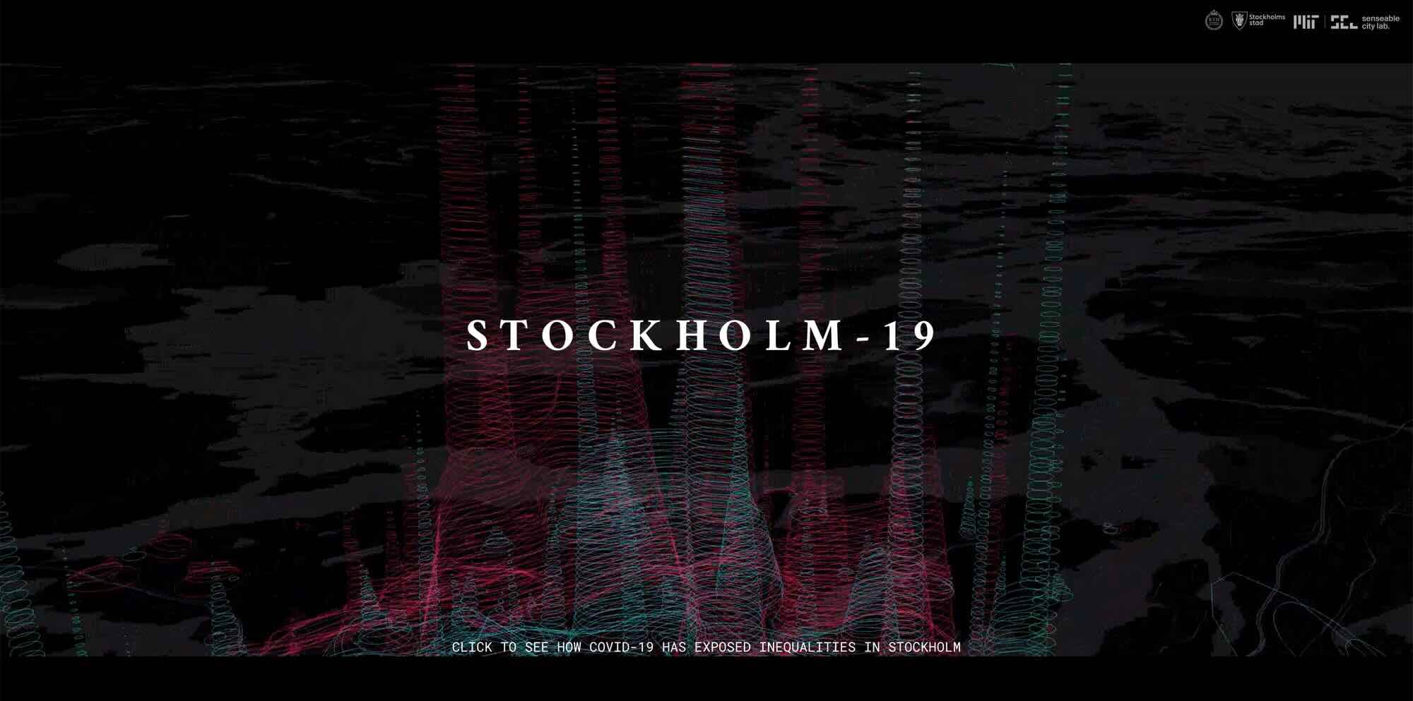
Overview
- Role
- Data Visualization Specialist / Researcher
- Period
- 2021
What I did
- Mapped changes in urban space usage and mobility during COVID-19
- Developed visualizations communicating restriction impacts and spatial variations
This study analyzed Stockholm's unique response to COVID-19 restrictions using Twitter and survey data. Through GIS and spatio-temporal analysis, we investigated how citizens' use of urban space changed, revealing varied adaptation across the city and exposing links between mobility constraints, urban resilience, and social inequality.
Shipped outcome
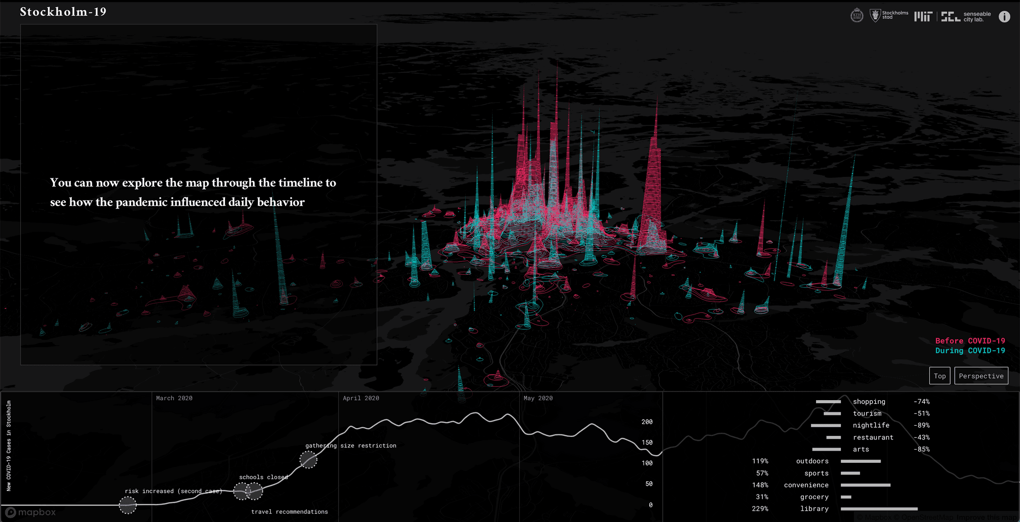
This study provided nuanced insights into how Stockholm's unique COVID-19 policies affected citizens' spatial behavior, highlighting significant variations across the city. The findings contribute to understanding urban resilience during crises and demonstrated how movement constraints can expose deeper challenges related to social inequality and segregation.
Learnings
- Leveraging novel data streams (Twitter, map surveys) for timely urban analysis during dynamic events.
- How analyzing mobility and activity patterns can reveal underlying spatial inequalities within a city.
- Communicating complex spatio-temporal findings about crisis impacts and urban resilience.